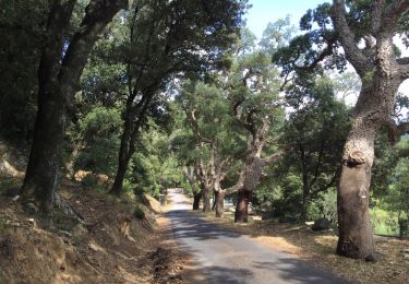
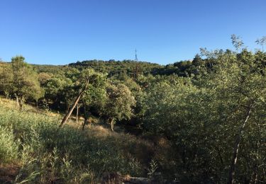
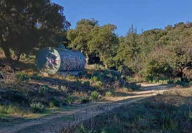
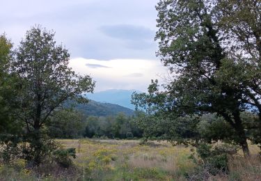
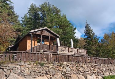
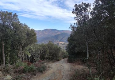
Randonnée A pied Le Perthus - ETAPE 2 LE PERTHUS - AMELIE LES BAINS - Photo

ETAPE 2 LE PERTHUS - AMELIE LES BAINS

 mathildehary
mathildehary

Utilisateur

© OpenStreetMap contributors
Longueur
Longueur
35 km
Altitude max
Altitude max
1357 m
Dénivelé positif
Dénivelé positif
1613 m
Km-Effort
Km-Effort  
57 km
Altitude min
Altitude min
213 m
Dénivelé négatif
Dénivelé négatif
1684 m
Boucle
Boucle
Non
Date de création :
2021-03-10 21:47:38.683
Dernière modification :
2021-03-22 20:21:44.936

(0 Avis)

A pied
A pied
18h35
Difficulté : Très difficile

Scannez ce code QR pour ouvrir la randonnée dans l'application SityTrail

Application GPS de randonnée GRATUITE

Logo SityTrail SityTrail

IGN / Instituts géographiques

Télécharger SityTrail sur l'App Store Télécharger SityTrail sur Google Play

Logo SityTrail SityTrail World

Le monde est à vous

Télécharger SityTrail sur l'App Store Télécharger SityTrail sur Google Play Télécharger SityTrail sur Huawei AppGallery

À propos

Randonnée A pied de 35 km à découvrir à Occitanie, Pyrénées-Orientales, Le Perthus. Cette randonnée est proposée par mathildehary.

Profil altimétrique

Localisation

Pays :
France
Région :
Occitanie
Département/Province :
Pyrénées-Orientales
Commune :
Le Perthus
Localité :
Unknown
Départ:(UTM)
488661 ; 4701447 (31T) N.

Randonnées à proximité

Randonnée Marche Les Cluses - LES CLUSES 66 - Photo
Marche
jeff66

Marche

Facile
(9)
Les Cluses, Occitanie, Pyrénées-Orientales, France
9,4 km | 12,8 km-effort
1h 50min
Oui
Randonnée Marche L'Albère - SAINT-JEAN-D'ALBERE 66 - PUIG  de Sant Christau par le coll de Sant Joan  - Photo
Marche
jeff66

Marche

Difficile
(1)
L'Albère, Occitanie, Pyrénées-Orientales, France
10,1 km | 17 km-effort
2h 46min
Oui
Randonnée Marche Le Boulou - LES THERMES DU BOULOU - 66 - Albera viva - PUIG de l'Estella - Photo
Marche
jeff66

Marche

Moyen
(2)
Le Boulou, Occitanie, Pyrénées-Orientales, France
7,3 km | 11,4 km-effort
1h 32min
Oui
Randonnée Marche Les Cluses - LES CLUSES 66 - LE PERTHUS -  - Photo
Marche
jeff66

Marche

Moyen
(2)
Les Cluses, Occitanie, Pyrénées-Orientales, France
14,4 km | 20 km-effort
2h 57min
Oui
Randonnée Marche L'Albère - Le Pic Neulos (1256m) - Photo
Marche
philturp

Marche

Facile
(1)
L'Albère, Occitanie, Pyrénées-Orientales, France
7,7 km | 12,2 km-effort
2h 46min
Oui
Randonnée Marche Maureillas-las-Illas - RIUNOGUES PORTELL PANISSAR - Photo
Marche
MarcOBRECHT

Marche

Moyen
(1)
Maureillas-las-Illas, Occitanie, Pyrénées-Orientales, France
18 km | 26 km-effort
4h 35min
Oui
Randonnée Marche Le Perthus - perthus . panissars . redoute . bellegarde . redoute (court)  - Photo
Marche
GUIDE
stef789

Marche

Moyen
(1)
Le Perthus, Occitanie, Pyrénées-Orientales, France
6,6 km | 9,1 km-effort
2h 39min
Oui
Randonnée Marche L'Albère - ullat . piste . puig orella . puig St cristau . puig orella . ullat - Photo
Marche
GUIDE
stef789

Marche

Moyen
L'Albère, Occitanie, Pyrénées-Orientales, France
9,5 km | 15 km-effort
4h 11min
Oui
Randonnée Marche la Jonquera - 20230427 au départ du Perthus-crash DC6 1986 - Photo
Marche
ThonyM

Marche

Difficile
la Jonquera, Catalogne, Gérone, Espagne
13,9 km | 21 km-effort
3h 54min
Oui


Fermer
Mes abonnements